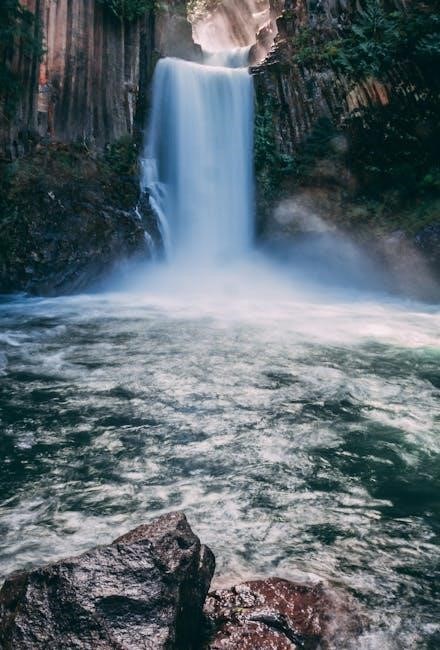
Oregon river levels and forecasts are crucial for understanding water flow dynamics, ensuring public safety, and supporting outdoor activities. The U.S. Geological Survey (USGS) and NOAA play key roles in monitoring and predicting river conditions.
Real-time data from streamgages and forecast centers helps predict water levels, enabling informed decisions for flood preparedness, fishing, and boating. Accurate forecasts are essential for managing water resources and protecting communities across Oregon.
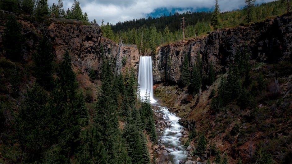
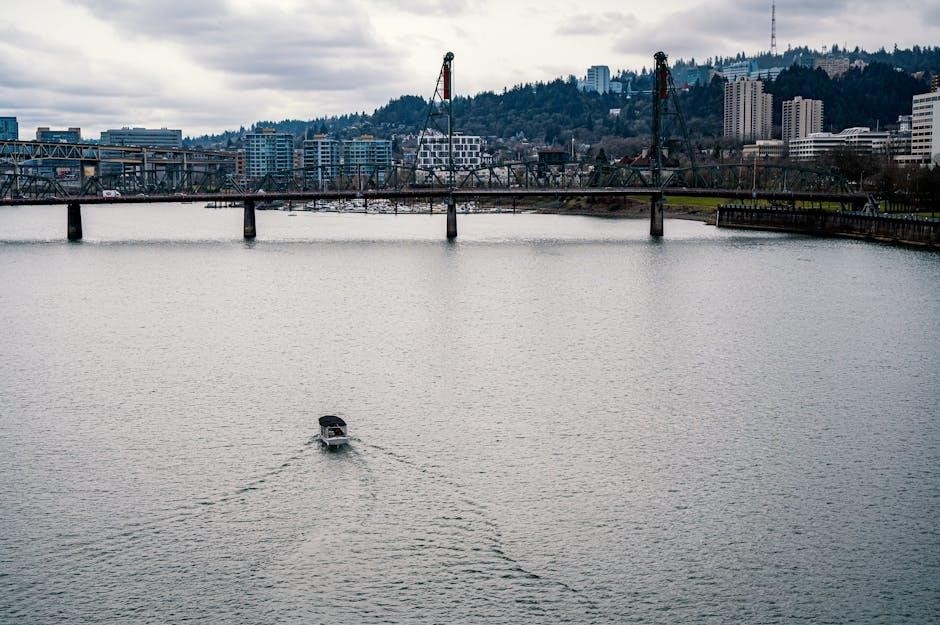
Why River Levels Matter for Oregon
River levels are vital for Oregon’s environmental sustainability, economic stability, and public safety. Accurate monitoring helps predict floods, ensuring timely evacuations and protecting infrastructure. Recreational activities like fishing and boating rely on stable river levels for safety and enjoyment. Agriculture depends on consistent water supply for irrigation, directly impacting crop yields and farm productivity. River levels also influence ecosystems, affecting habitats for fish and wildlife, such as salmon spawning. Additionally, managing water resources efficiently requires precise data to balance supply and demand, preventing shortages and waste. Understanding river levels enables communities to prepare for emergencies, fostering a safer and more resilient Oregon.
Understanding River Level Monitoring
River level monitoring involves real-time data collection using streamgages and advanced sensors. This system tracks water flow, enabling accurate forecasts and informing decisions for flood prevention, water management, and ecological preservation.
Role of the U.S. Geological Survey (USGS) Streamgages
The U.S. Geological Survey (USGS) operates a network of streamgages across Oregon to monitor river levels, flow rates, and water quality in real-time. These devices collect data at intervals of 15 to 60 minutes, storing it onsite before transmitting it to USGS offices via satellite, telephone, or radio telemetry. During critical events, such as heavy rainfall or flooding, data transmission becomes more frequent to ensure timely updates. The USGS streamgages provide essential information for understanding river dynamics, predicting flood risks, and supporting water management decisions. This data is publicly accessible, enabling stakeholders, including emergency responders, farmers, and recreational users, to make informed decisions. The USGS also collaborates with state and local agencies to enhance the accuracy and reach of river monitoring efforts, ensuring comprehensive coverage of Oregon’s water resources.

How River Level Data is Collected and Transmitted
River level data in Oregon is primarily collected using streamgages, which are specialized sensors deployed along rivers to measure water levels, flow rates, and other hydrological parameters. These devices record data at intervals of 15 to 60 minutes, storing it locally before transmitting it to USGS offices. During critical events, such as heavy rainfall or flooding, data collection and transmission frequencies increase to provide real-time updates. The data is relayed through satellite, telephone, or radio telemetry, ensuring accurate and timely information for river monitoring.
This system allows for continuous monitoring of river conditions, enabling forecasts and warnings for flooding, as well as supporting water resource management. The transmitted data is accessible online, providing stakeholders with up-to-date information to make informed decisions for public safety, agriculture, and recreational activities.
Forecasting River Levels
NOAA River Forecast Centers use precipitation data and advanced models to predict Oregon river levels, helping prevent flooding and manage water resources effectively.
Accurate forecasts enable timely flood warnings and informed decision-making for public safety, agriculture, and outdoor activities across Oregon.
NOAA River Forecast Centers and Their Role
The NOAA River Forecast Centers play a critical role in predicting Oregon river levels by analyzing data from streamgages, precipitation records, and weather patterns. These centers utilize advanced hydrological models to forecast river flows, helping to prevent flooding and manage water resources effectively.
By integrating real-time data from USGS streamgages and other sources, NOAA provides accurate and timely river level predictions. This information is essential for emergency management, flood preparedness, and ensuring public safety during heavy rainfall or snowmelt events. NOAA’s forecasts also support agricultural planning, hydroelectric power generation, and environmental protection across Oregon.
NOAA’s expertise ensures that communities and stakeholders have the necessary tools to respond to river-related challenges, making their role indispensable in Oregon’s water management and disaster preparedness efforts.
Technology Behind River Level Predictions
The technology driving river level predictions in Oregon relies on a combination of real-time data collection, advanced modeling, and precise analytics. Streamgages installed along rivers transmit water level and flow data via satellite, telephone, or radio telemetry to central databases. These systems ensure continuous monitoring, especially during critical events like heavy rainfall or snowmelt.
Hydrological and hydraulic models process this data to predict future river levels. These models incorporate factors such as precipitation forecasts, soil moisture, and snowpack to generate accurate predictions. Geographic Information Systems (GIS) and satellite imagery further enhance the accuracy of these forecasts by providing detailed topographical data. Additionally, NOAA and USGS utilize machine learning algorithms to refine predictions based on historical trends and real-time inputs. This integration of cutting-edge technology ensures reliable river level forecasts, enabling effective flood management, water resource planning, and public safety efforts across Oregon.
Flood Risk and Emergency Preparedness
Oregon’s river level monitoring systems are vital for assessing flood risks and enabling timely emergency responses. Accurate forecasts help communities prepare for potential flooding, ensuring public safety and minimizing property damage.
Flood Stage Classification and Impacts
Flood stages in Oregon are classified based on river level thresholds, indicating the severity of potential flooding. These classifications help communities understand the risks associated with rising water levels. For instance, at lower stages, minor flooding may occur near riverbanks, while higher stages can inundate homes, roads, and agricultural areas. The Willamette River, for example, experiences significant flooding at levels above 32 feet, impacting residential areas and infrastructure. Accurate flood stage data enables emergency responders to issue timely warnings and evacuation orders. Monitoring systems track water levels in real-time, providing critical information to assess flood risks. Understanding flood stage classifications is essential for protecting lives and property, as it allows for proactive measures to mitigate damage. By staying informed about river level forecasts, residents can prepare for potential flooding and ensure safety during high-water events.
Community Preparedness for River Flooding
Community preparedness for river flooding in Oregon is essential for safeguarding lives and property. Residents in flood-prone areas are encouraged to stay informed about river level forecasts and sign up for emergency alerts. Local governments often provide sandbags, evacuation maps, and flood safety guides to help residents prepare. Schools and community centers frequently conduct flood drills to educate the public on evacuation procedures and emergency response plans. Additionally, residents are advised to maintain emergency kits with essentials like food, water, and medications. Understanding flood stage classifications and their impacts helps communities take proactive measures, such as relocating valuables to higher ground and reinforcing homes against water damage. By staying vigilant and working together, Oregon communities can reduce the risks associated with river flooding and ensure a swift recovery in the aftermath of such events.

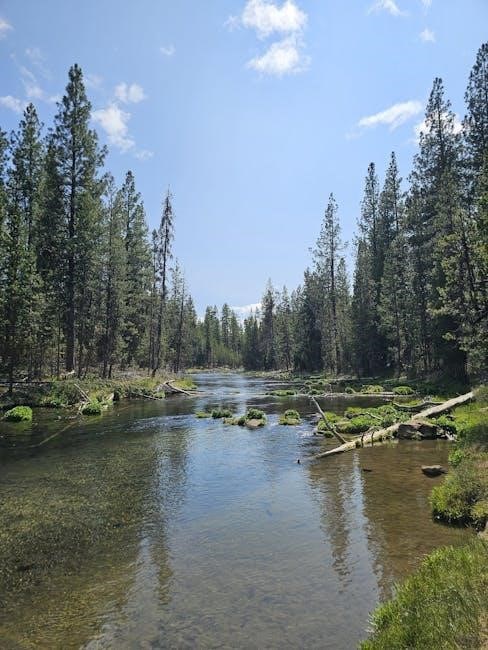
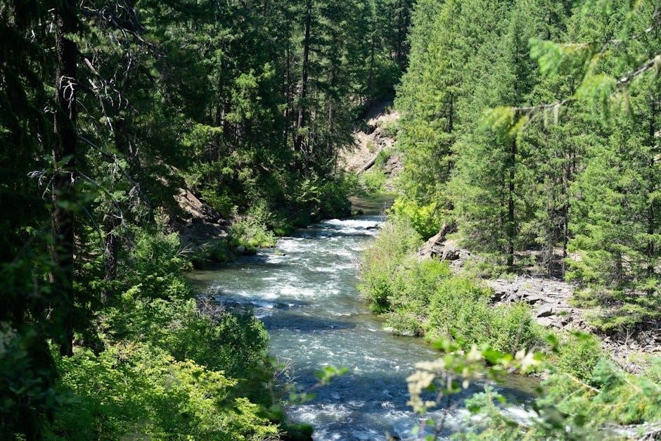
River Levels and Outdoor Activities
River levels significantly impact outdoor activities like fishing, rafting, and boating in Oregon. Stable water flows enhance fishing conditions, while higher levels create thrilling rapids for rafting enthusiasts, ensuring safe and enjoyable experiences.
Fishing Conditions and River Level Guidance
Fishing conditions in Oregon’s rivers are deeply influenced by water levels, which determine fish behavior and accessibility. Anglers rely on river level forecasts to identify optimal fishing spots, as specific water heights favor certain species. For example, salmon and trout are more active in stable, moderate flows, while lower levels may concentrate fish in deeper pools. Real-time river level data, often updated hourly, helps anglers plan their trips effectively. Guides and fishermen use this information to avoid unsafe conditions, such as rapid currents or low water that can hinder boat access. Additionally, river level forecasts help predict migratory patterns, enabling anglers to target areas where fish are likely to congregate. By monitoring these conditions, anglers can maximize their success while ensuring a safe and enjoyable fishing experience on Oregon’s diverse waterways.
Rafting and Boating Safety Based on River Levels
River levels play a critical role in ensuring safety for rafting and boating activities in Oregon. High water levels can create dangerous currents and hidden obstacles, while low levels may expose rocks and shallow areas, increasing the risk of accidents. Guides and enthusiasts rely on real-time river level forecasts to identify safe sections for navigation. For example, moderate flows are ideal for rafting, while excessively high levels may require advanced skills or even prompt closures of certain stretches. Forecast data helps determine the best times and locations for boating, minimizing risks. Additionally, understanding river level trends allows users to anticipate changes in water conditions, such as rapid rises from rainfall or snowmelt. By monitoring these factors, rafters and boaters can enjoy Oregon’s rivers safely, avoiding hazardous conditions and making informed decisions to protect themselves and others on the water.
Agricultural Implications of River Levels
River levels significantly impact Oregon’s agriculture by influencing irrigation management and water supply availability. Accurate river data helps farmers optimize water use, sustain crops, and plan effectively for seasonal variations in water flow.
Irrigation Management Using River Data
River level data plays a vital role in irrigation management across Oregon, enabling farmers to make informed decisions about water usage. Real-time information from USGS streamgages and NOAA forecasts helps determine optimal irrigation schedules, ensuring crops receive adequate water without waste.
By monitoring river levels, farmers can identify periods of low flow, allowing them to adjust irrigation systems to maintain soil moisture. This data also helps in predicting water availability during dry seasons, enabling proactive planning to avoid crop stress. Advanced technologies, such as soil moisture sensors integrated with river level forecasts, further enhance irrigation efficiency.
Accurate river data supports sustainable agriculture by balancing water use with environmental needs. It ensures that irrigation practices align with ecological thresholds, protecting both crops and aquatic ecosystems. Oregon’s agricultural sector relies heavily on this information to maintain productivity while conserving one of its most precious resources—water.
Water Supply Monitoring for Agricultural Needs
Water supply monitoring is essential for Oregon’s agricultural sector, as it ensures the availability of sufficient water resources for irrigation and crop health. Real-time data from river level gauges and forecast models provide farmers with critical insights into water availability throughout the growing season.
By tracking river levels, farmers can anticipate water shortages and plan accordingly, such as storing water during high-flow periods or implementing water-saving measures. This data also helps in managing water distribution systems, ensuring equitable access for all agricultural needs. Advanced monitoring systems integrate weather forecasts, soil moisture levels, and river flow predictions to offer a comprehensive view of water resources.
Effective water supply monitoring not only supports crop productivity but also helps in maintaining the overall health of Oregon’s ecosystems. It enables sustainable agricultural practices, balancing the needs of farming with environmental conservation, and ensures long-term water security for the state’s agricultural industry.
Accessing River Level Information
Oregon river levels can be monitored through online resources like the USGS National Water Dashboard and NOAA’s River Forecast Centers. These platforms provide real-time data, forecasts, and interactive maps for informed decision-making.
Online Resources for Real-Time River Data
Several online platforms provide real-time river level data for Oregon, enabling users to stay informed about current water conditions. The U.S. Geological Survey (USGS) National Water Dashboard offers comprehensive data, including water levels, flow rates, and historical trends. NOAA’s River Forecast Centers provide detailed forecasts, while Oregon-specific monitoring locations, such as the Southwest Zone, offer localized updates.
These resources are updated hourly, ensuring accurate and timely information. Users can access interactive maps, graphs, and flood stage classifications. Tools like the Significant River Flood Outlook and Hydrologic Text Product Information from NOAA further enhance decision-making. Whether for fishing, boating, or flood preparedness, these platforms are essential for understanding Oregon’s river dynamics.
Mobile Apps for River Level Monitoring
Mobile apps provide convenient access to Oregon river level data, enabling users to monitor water conditions on the go. Apps like Water Level and RiverFlows offer real-time updates, customizable alerts, and interactive maps. These tools are especially useful for anglers, boaters, and emergency responders who need instant access to river data.
Features include push notifications for flood warnings, historical data comparisons, and the ability to track multiple river gauges. Apps like Oregon River Levels simplify data visualization, making it easier to understand current and forecasted water levels. These mobile solutions ensure that critical river information is always accessible, supporting outdoor activities and safety efforts across Oregon.